Peace of mind with certified pilots and comprehensive insurance coverage.
At Dronescape, safety and professionalism are paramount. Our pilots are fully certified and adhere to all regulatory requirements. We carry comprehensive insurance, ensuring your project is protected. Trust us to deliver exceptional results safely and reliably.
Capture stunning, high-resolution aerial images that showcase your subject from a unique perspective. Ideal for real estate listings, landscape documentation, event highlights, marketing materials, and much more. We deliver crisp, professionally edited photos ready for use.
Elevated shots to highlight property features and surroundings.
Breathtaking views for tourism, art, or documentation.
Unique group photos and venue captures.
Eye-catching imagery for campaigns and websites.
Bring your vision to life with cinematic 4K drone footage. We specialize in creating dynamic, engaging videos for films, commercials, television, promotional content, event coverage, and marketing campaigns. Our expert pilots and editors ensure smooth, professional results.
Sweeping establishing shots and dynamic action sequences.
Engaging visuals to captivate your audience.
Compelling video walkthroughs from the air.
Dynamic recaps capturing the scale and energy.
Leverage drone technology for highly accurate aerial mapping, 3D modeling, and topographic surveys. Our services are essential for construction site monitoring, land management, agricultural analysis, and infrastructure planning, providing valuable data quickly and efficiently.
High-resolution, georeferenced aerial maps.
Detailed digital representations of sites and structures.
Accurate elevation data and contour lines.
Precise measurements for stockpiles and earthworks.
Add a spectacular dimension to your special occasions with professional drone photography and videography. Capture unique perspectives of weddings, parties, corporate functions, festivals, and sporting events, creating unforgettable memories and engaging promotional content.
Unique venue shots and group photos.
Capture the scale and atmosphere from above.
Professional coverage for conferences and gatherings.
Dynamic action shots and overview footage.
Create truly immersive experiences with our 360° aerial and ground-based video and photography services. Perfect for interactive virtual tours of properties, venues, and landscapes, engaging event documentation, and cutting-edge marketing content that puts your audience right in the centre of the action.
Immersive walkthroughs for real estate and venues.
Engaging content for websites and presentations.
Relive moments from every angle.
Explore destinations immersively.
Conduct safe, efficient, and cost-effective inspections of buildings, roofs, infrastructure, utilities, and industrial assets. Our drones capture detailed visual data from hard-to-reach or hazardous areas, reducing risk and providing actionable insights for maintenance and assessment.
Identify damage and maintenance needs quickly.
Assess bridges, roads, and railways safely.
Inspect towers, power lines, and wind turbines.
Thermal and visual checks for panels and plants.
Monitor progress, enhance safety, and streamline communication on your construction projects with our drone solutions. We offer site mapping, progress tracking, stockpile measurements, and inspection services tailored to the construction industry's needs.
Regular visual updates for stakeholders.
Mapping and volumetrics for planning.
Inspect hard-to-reach areas without risk.
Visual records for reporting and disputes.
Elevate your property listings with our comprehensive drone services for real estate. We provide stunning aerial photos, captivating walk-through videos, and immersive 360° tours to showcase properties like never before, attracting more buyers and impressing sellers.
Highlight property scale, features, and location.
Engaging property tours from unique perspectives.
Allow buyers to explore properties remotely.
Contextualize the property within its neighborhood.
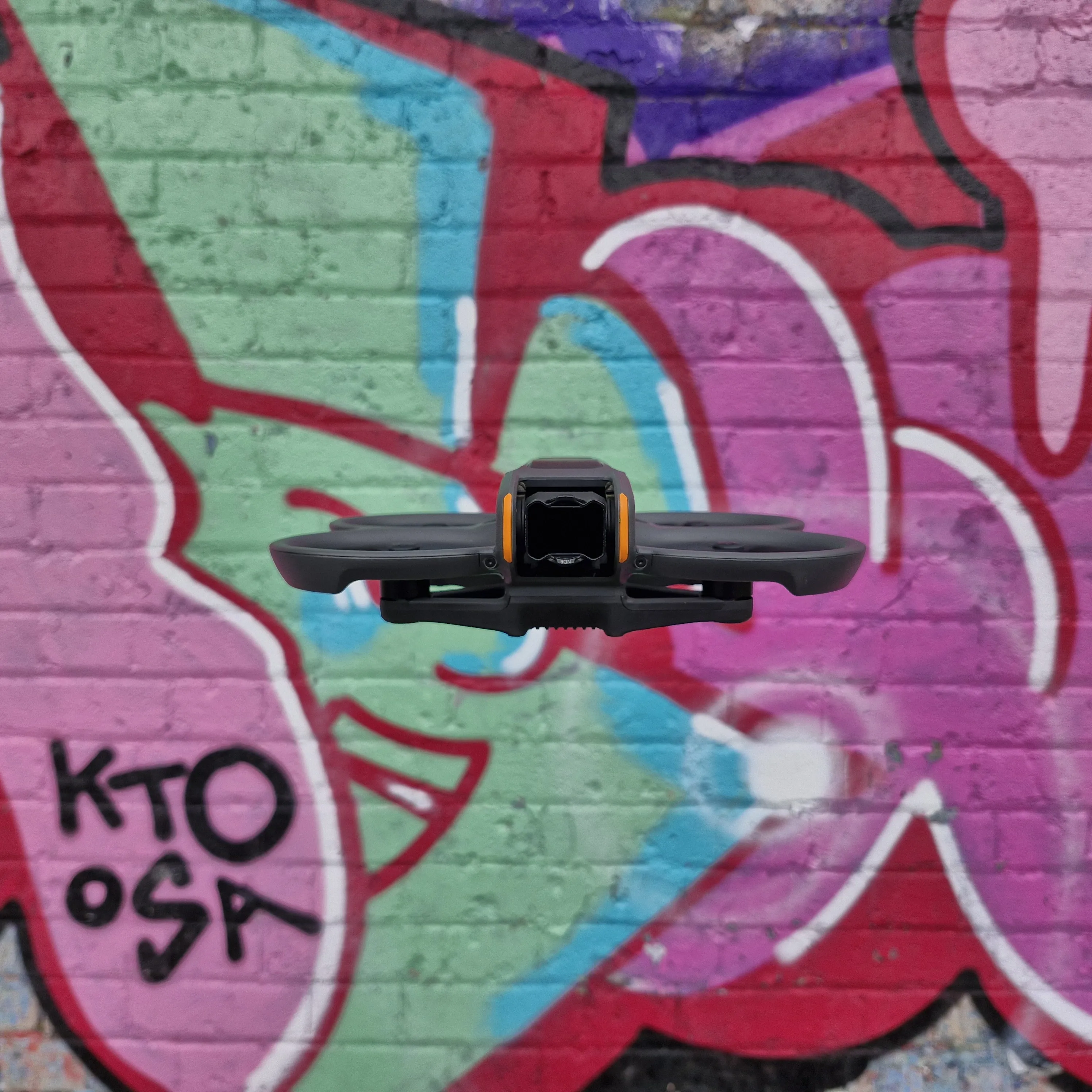
Get ready for dynamic, fast-paced First-Person View (FPV) drone footage! Ideal for high-energy action shots, unique perspectives, and navigating complex environments. Stay tuned for the launch of our FPV services, bringing unparalleled cinematic possibilities.
Follow subjects with incredible speed and agility.
Navigate tight spaces for unique walkthroughs.
Create breathtaking, one-of-a-kind shots.
Innovative applications limited only by imagination.
Contact us today to discuss your drone service needs and receive a custom quote.
Get Started